top of page


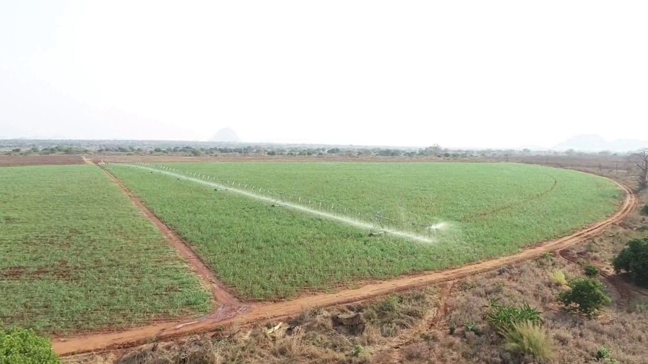
AERIAL IMAGERY
If you looking for a aerial image or a spatial solution you've come to the right place! We supply both Drone and Satellite imagery.
ELEVATION MODELS
Our spatial solutions extend into both elevation and 3D models. If you looking for a drainage model or a RTK survey then this is the product for you!
DATA MANAGEMENT
Both data management and quality are an import aspect to any farm. We've developed a IT solutions to help our clients manage their farms.


All Videos
bottom of page